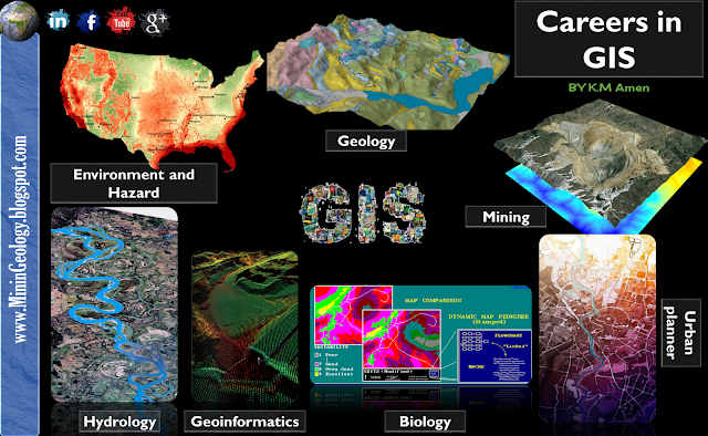
An
urban planner might want to assess
the extent of urban fringe growth in her/his city, and quantify
the population growth that some suburbs are witnessing. S/he might also
like to understand why these particular suburbs are growing
and others are not.
A
biologist might be interested in the impact of
slash-and-burn practices on the populations of amphibian species in the forests
of a mountain range to obtain a better understanding of long-term threats to
those populations.
A
natural hazard analyst might like to identify the high-risk areas of annual monsoon-related
flooding by investigating rainfall patterns and terrain characteristics.
A
geological engineer might want to identify the best localities for constructing buildings in
an earthquake-prone area by looking at rock formation characteristics.
A
cartographer Map maker and designing digital maps.
A
mining engineer could be interested in determining which prospective Ore Deposits should be
selected for future exploration, taking into account parameters such as
extent, depth and quality of the ore body, amongst others.
A
geoinformatics engineer hired by a telecommunications company may want to determine the best sites for the company’s relay
stations, taking into account various cost factors such as land prices,
undulation of the terrain et cetera.
A
forest manager might want to optimize timber production using data on soil and current tree
stand distributions, in the presence of a number of operational
constraints, such as the need to preserve species diversity in the area.
A
hydrological engineer might want to study a number of water quality parameters of
different sites in a freshwater lake to improve understanding of the current distribution
of Typha reed beds, and why it differs from that of a decade ago.


0 التعليقات:
Post a Comment